Printable geography worksheets
Worksheets with a numbered map, three activities and an answer key on a second page. Open one, change anything you like and download it as a PDF. Free, no sign-up.
Worksheets ready to print
Each link opens that exact worksheet in the generator: print it as it is, or change the map, the level or the worksheet number.
-
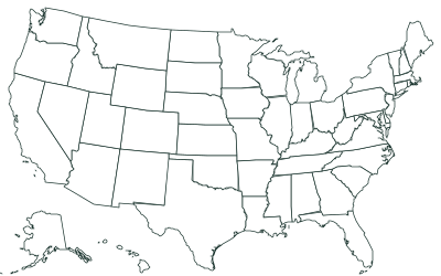 The 50 states Easy 8 states to name and 3 questions. Color these states on the map: Nevada, North Dakota, and Texas. Open the worksheet
- The 50 states Medium 12 states to name and 3 questions. Color these states on the map: California, Florida, and Alabama. Open the worksheet
- The 50 states Hard 16 states to name and 3 questions. Color the 4 states whose names start with “New”. Open the worksheet
-
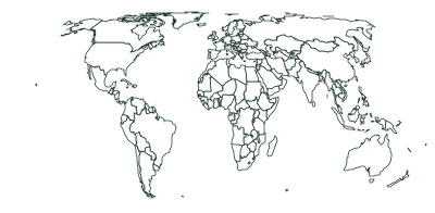 The countries of the world Easy 12 countries to name and 3 questions. Color the numbered countries that are in Europe. Open the worksheet
- The countries of the world Hard 16 countries to name and 3 questions. Color the numbered countries that are in Asia. Open the worksheet
-
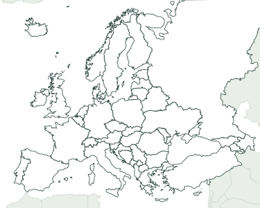 The countries of Europe Medium 12 countries to name and 3 questions. Color these countries on the map: Moldova, Denmark, and Netherlands. Open the worksheet
-
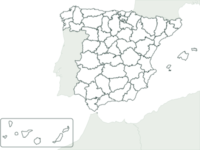 The provinces of Spain Medium 12 provinces to name and 3 questions. Color the 2 provinces of Extremadura on the map. Open the worksheet
For teachers
Each worksheet has two pages. The first has a title, lines for name, class and date, the numbered map and up to three activities: write the names for the numbers asked, color some areas of the map, and answer three questions. The second is the answer key: the map with the areas to color already shaded, the answers, and the full list of numbers with their names.
Answers come from official data, not from memory: state boundaries and areas from the US Census Bureau, countries and capitals from Natural Earth, and Spain’s from the Instituto Geográfico Nacional and the INE. Each worksheet shows its number at the foot of the page: the same number and options always give the same worksheet, so you can save the link or share it with a colleague.
To give each student a different version, click “New worksheet” before printing each copy: the numbers asked, the areas to color and the questions change, but the map stays the same and grading with the answer key is just as quick. To print the worksheet without answers, choose page 1 in the print window. On US Letter paper, pick “Fit to page”.
Blank maps without activities
If you’d rather write your own questions, the blank maps print blank, numbered, labeled or with capitals, on A4 or A3. See the blank maps.
Frequently asked questions
Are the worksheets free?
Yes. Print and copy them for your class without signing up. If you post them on a blog or class website, credit “Mapsfera” and the data source shown at the foot of the page.
What grade are they for?
Elementary and middle school: Easy asks about the largest, best-known places and counting questions; Hard adds the smallest places and comparison questions. Pick the one that fits your class.
How do I download them as PDFs?
Open a worksheet and click “Download PDF”. In the print window, choose “Save as PDF”. You get both pages, the worksheet and the answer key.