Blank maps to print
Maps that are blank, numbered, labeled or marked with capitals, ready to print on A4 or A3 or to download as PNG and SVG. Free, no sign-up.
Maps
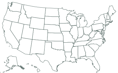
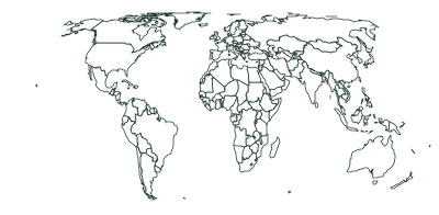
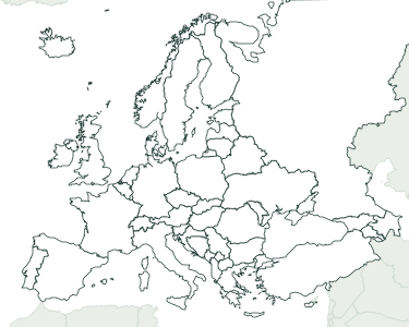
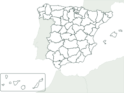
How to pick a version
Every map comes in four versions. Blank shows only the borders, for coloring or for writing names from memory. Numbered puts a number on each state or country in alphabetical order, with a list underneath to write the names: it’s the handiest for a test, since each page has the key. Labeled is for studying, and Capitals marks each capital with a dot and its name.
Print on A4 or A3, portrait or landscape; on US Letter, choose A4 and “Fit to page”. A3 shows the same map bigger, which helps with busy maps like the world (194 countries) or the 50 states.
The PDF comes from your browser’s print window (“Save as PDF”), at actual size and with margins. The PNG, 2,400 pixels wide, works for slides or an interactive whiteboard, and the SVG can be edited in Inkscape, Illustrator or Canva.
For the classroom
Frequently asked questions
Are they free?
Yes. You can print, copy and hand them out in class as often as you like, without signing up. If you post them on a blog or class website, credit the source shown on each map.
Which blank maps are there?
The 50 US states, the world (194 countries), Europe (49 countries) and Spain by province.
How do I download a PDF?
Click “Download PDF” and, in the print window, choose “Save as PDF” as the printer. The sheet is already set up with the paper size and orientation you picked.
Can I change the title on the sheet?
Yes: type your own in “Title text”, or remove it with “Title on the sheet: No”. Every change (version, size, orientation) shows up right away in the preview.