Blank map of US mountain ranges
The 10 mountain ranges of the United States, ready to print on A4, Letter, A3 or Tabloid, or to download as PNG and SVG: blank, numbered or labeled. Free, no sign-up.
By the Mapsfera Team
Preview · A4 landscape · Lettered
Set up your sheet
Version
Paper size
Orientation
Title on the sheet
The PDF comes out at actual size, with margins so nothing gets cut off. In the print window, choose “Save as PDF”. Letter and Tabloid are US paper sizes; A4 and A3, the rest of the world’s.
License
Free for class and personal use
Print it, copy it and hand it out. If you publish it, credit it like this. For other uses, get in touch.
Mapsfera · data Natural Earth, US Census Bureau, USGS, Wikidata
The mountain ranges
The map shows 10 mountain ranges. The highest is the Alaska Range, topped by Denali (6,190 m / 20,308 ft), followed by the Sierra Nevada (Mount Whitney (4,421 m / 14,505 ft)).
Each range’s highest peak is marked with a triangle; the labeled version adds its name and elevation: Denali (6,190 m), Mount Whitney (4,421 m), Mount Elbert (4,401 m), Mount Rainier (4,389 m), Mount Isto (2,736 m), and Mount Olympus (2,432 m) and 4 more.
How the map is made
Mountain ranges are Natural Earth geographic regions (public domain); each one’s highest peak and its elevation come from Wikidata.
Letter key
Mountain ranges carry a letter, in alphabetical order, with their highest peak.
| Letter | Mountain range | Highest peak | Elevation |
|---|---|---|---|
| A | Adirondack Mountains | Mount Marcy | 1,629 m / 5,344 ft |
| B | Alaska Range | Denali | 6,190 m / 20,308 ft |
| C | Appalachian Mountains | Mount Mitchell | 2,037 m / 6,683 ft |
| D | Black Hills | Black Elk Peak | 2,208 m / 7,244 ft |
| E | Brooks Range | Mount Isto | 2,736 m / 8,976 ft |
| F | Cascade Range | Mount Rainier | 4,389 m / 14,400 ft |
| G | Ouachita Mountains | Mount Magazine | 839 m / 2,753 ft |
| H | Pacific Coast Ranges | Mount Olympus | 2,432 m / 7,979 ft |
| I | Rocky Mountains | Mount Elbert | 4,401 m / 14,439 ft |
| J | Sierra Nevada | Mount Whitney | 4,421 m / 14,505 ft |
More blank maps
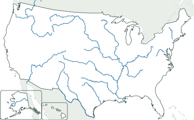
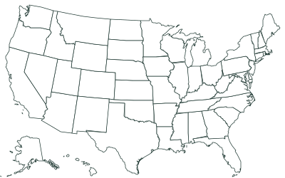
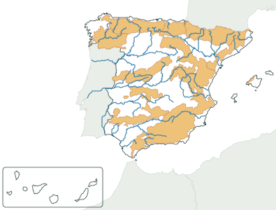
All blank maps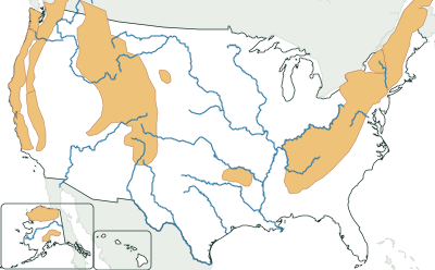
Frequently asked questions
What is the highest mountain range in the US?
Of those on this map, the Alaska Range, topped by Denali (6,190 m / 20,308 ft).
Which mountain ranges are on this map?
Adirondack Mountains, Alaska Range, Appalachian Mountains, Black Hills, Brooks Range, Cascade Range, Ouachita Mountains, Pacific Coast Ranges, Rocky Mountains, and Sierra Nevada.
Can I use it in class?
Yes, it’s free. Print it, copy it and hand it out as many times as you like. If you post it on a blog or a class website, credit “Mapsfera · data Natural Earth, US Census Bureau, USGS, Wikidata”.
What order are the numbers and letters in?
Alphabetical: rivers get numbers and mountain ranges get letters. The key is in the tables on this page.
Sources
- Mountain ranges: Natural Earth, 1:10m, geography regions (public domain)
- Highest peak and elevation: Wikidata (CC0), “highest point” (P610) and “elevation above sea level” (P2044), retrieved 2026-10-31
- States: US Census Bureau via us-atlas (public domain); Canada and Mexico, Natural Earth